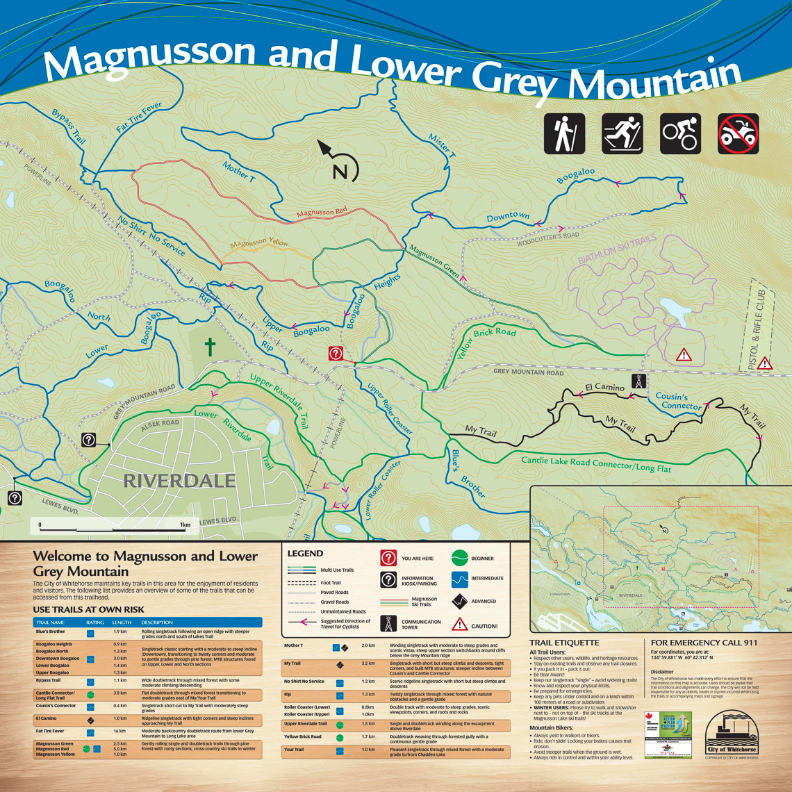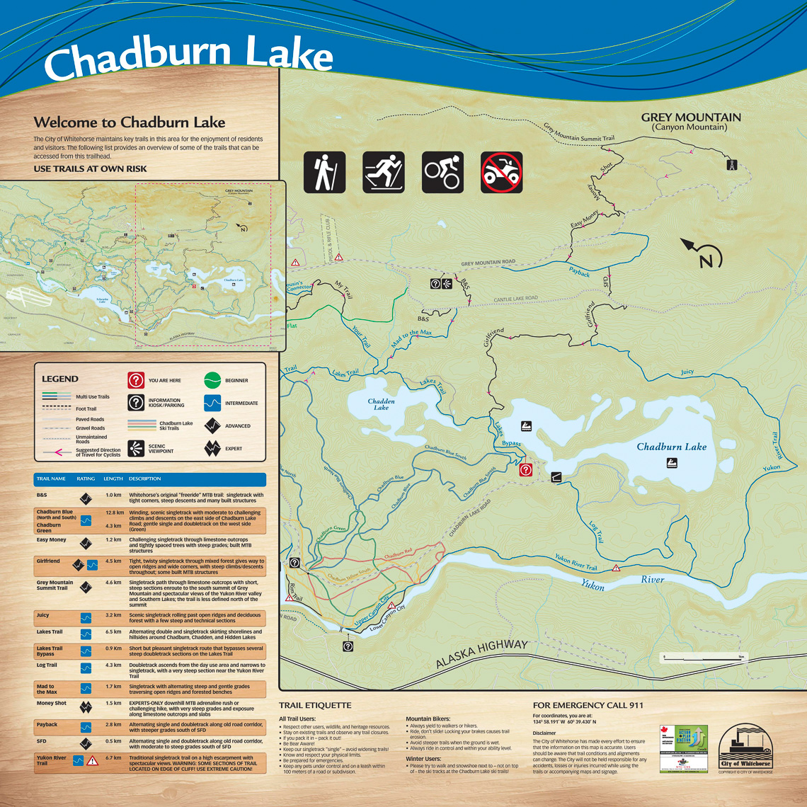
Riverdale Trail Maps
In 2007, the City of Whitehorse developed a trail plan to better manage the diverse and multiplying trail networks within city limits. The plan lays out guidelines to address: user safety; protecting the natural resources; and ensuring a high quality user experience.
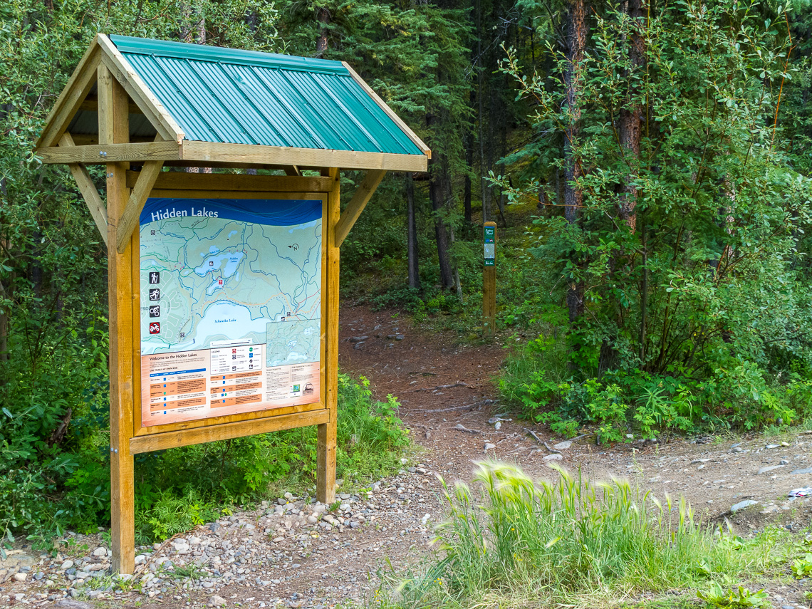
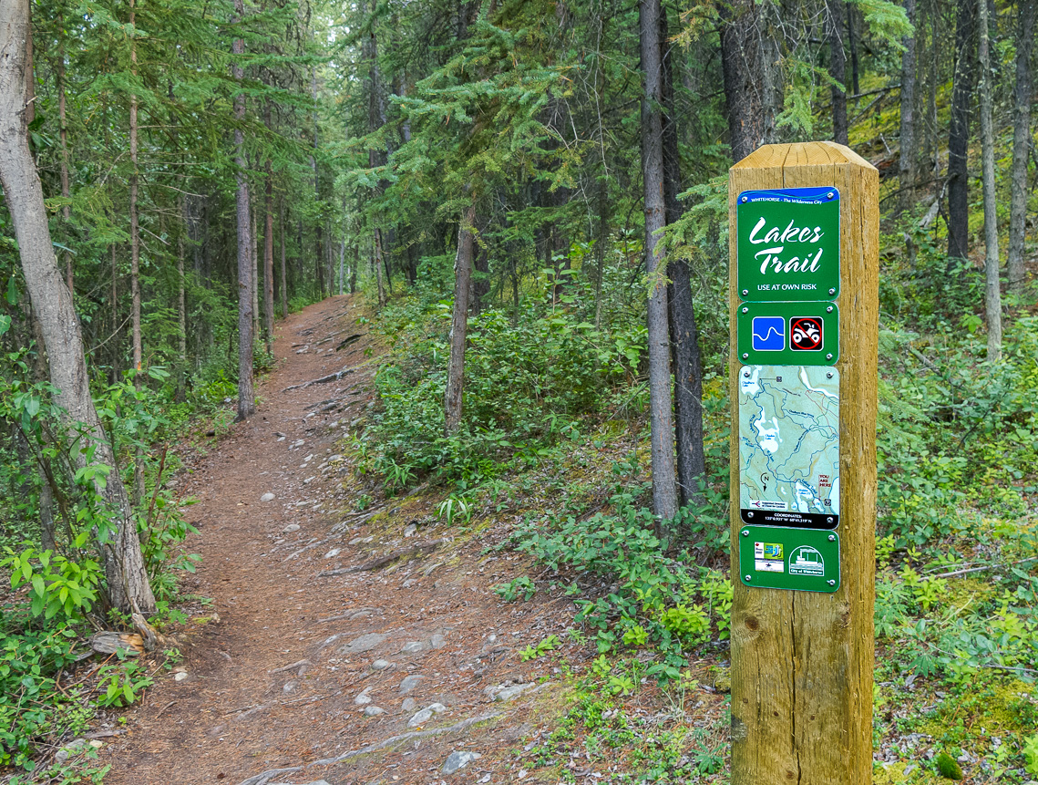
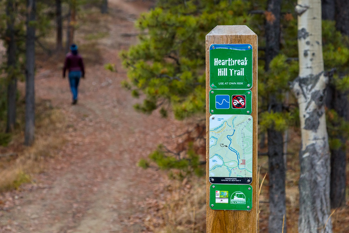
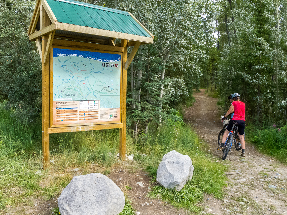
The trail network east of the Yukon River was the first to reflect the City's trail plan goals. Large trail maps, information kiosks, and trail posts and signs were created and strategically placed throughout the extensive trail network to address many of the trial plan key concerns. In conjunction with a dedicated trail crew, the trail network is now the envy of local neighbourhoods, communities, and other cities looking to improve on their trail management regime.